

„Puszczańskie Drzewa” Topiło Trail (2 km)

The path is located in the village of Topiło around the mid-forest ponds on the Perebel River, at the last stop of the narrow-gauge railway. The loop-shaped path is 4 km long. On its route there are boards describing the basic species of trees found in the forest, open-air museum of the forest railway and the ecumenical chapel.
GPX do pobrania: Puszczańskie Drzewa” Topiło (2 km)
GPS available for download at: www.gpsies.com/map.do?fileId=acvpcpcnekvaabyp
Kod QR do strony
IN THE RHYTHM OF THE HEART
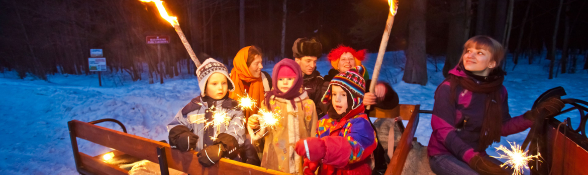
uwolnij swoje serce

uwolnij swoje serce
IN THE RHYTHM OF NATURE

naturalny rytm życia
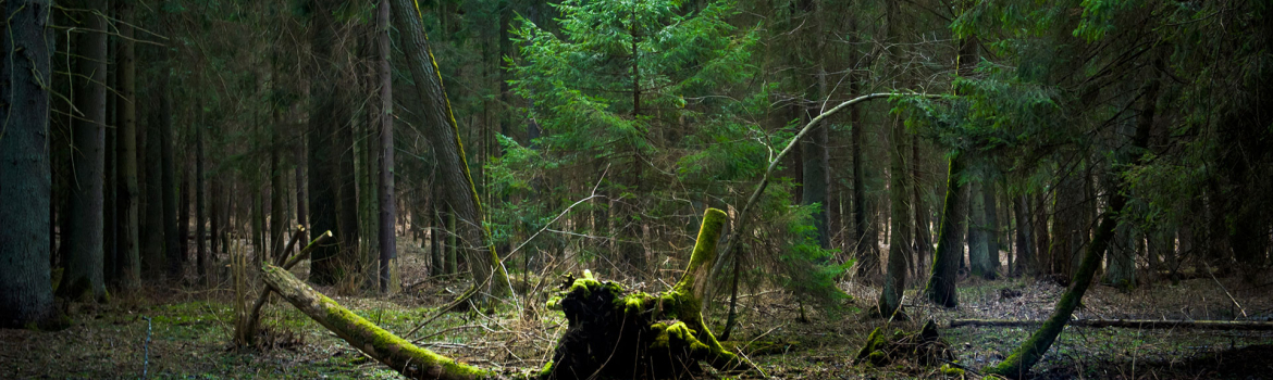
naturalny rytm życia
IN THE RHYTHM OF CULTURE
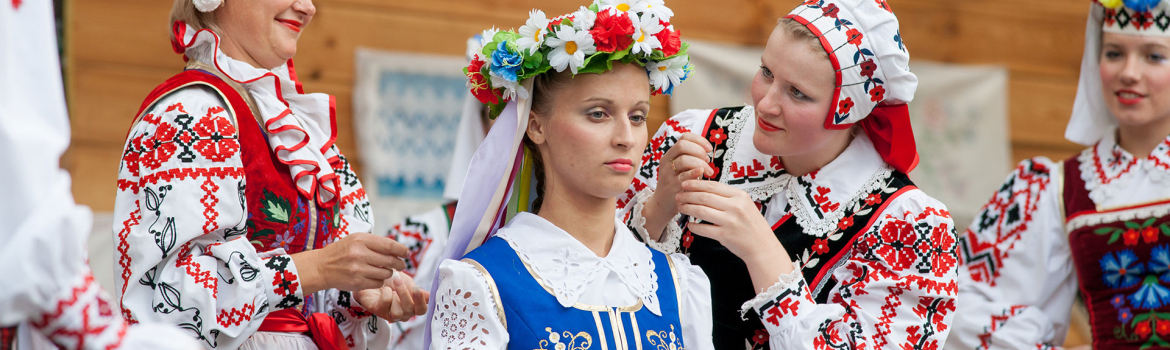
w rytmie tradycji

w rytmie tradycji


