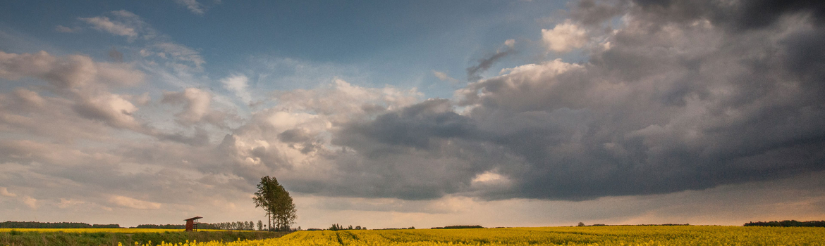
Podlaski Sacred Trail (260 km)
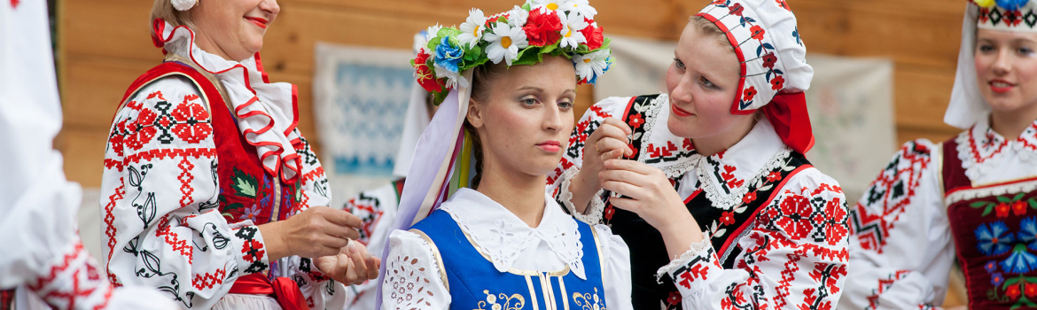
The unusual architecture of sacred buildings, interior design will impress everyone who comes across Orthodoxy.
The spatial distribution of historic sacred architecture in the present Podlaskie Voivodeship is the result of diverse settlement processes. In its southern and eastern part, the Orthodox churches prevail. Most of the objects are over 160 years old. In the western and northern part, churches dominate, many of them were erected at the beginning of the 20th century. In the north, we find fragments of old Old Believers' culture. The mosaic of nations and religions is complemented by the Tatars, whose only wooden mosques from the 19th century in Poland are found in Kruszyniany and Bohoniki.
The name "Orthodoxy" is a translation of the Greek word orthodoxy (ortho - true, excellently, I believe), that is, I truly believe. The Orthodox church (Greek kiriakon) is also the House of God, as well as a congregation of worshipers who worship it. The Orthodox Church recognizes seven sacraments, which are visible signs of giving God's grace to the faithful. They are: baptism, confirmation, confession, Eucharist, marriage, priesthood and the sacrament of the sick (anointing with oil).
The trail passes through towns located in the SLGD "Tygiel Dolny Bugu": Drohiczyn - Narojki - Rogawka - Grodzisk - Czarna Cerkiewna - Czarna Wielka - Żurobice - Siemiatycze - Mielnik - Radziwiłłówka - Koterka - Telatycze - Grabarka - Żerczyce - Rogacze - Milejczyce - Sobiatyno ( distance of about 200 km) and in the area of the LGD "Puszcza Białowieska": Dasz - Kleszczele - Dubicze Cerkiewne - Stary Kornin - Nowoberezowo - Hajnówka (distance: about 55 km).
![]() Podlaski-Szlak-Sakralny--samochodowo_motocyklowy.pdf2.99 MB
Podlaski-Szlak-Sakralny--samochodowo_motocyklowy.pdf2.99 MB
GPX do pobrania: Podlaski Szlak Sakralny (Samochodowo-Motocyklowy)
GPS download trail: www.gpsies.com/map.do?fileId=xadwbmcapngfinqd
Mapa Google: https://www.google.com/maps/Podlaski Szlak Sakralny (260 km)
IN THE RHYTHM OF THE HEART
IN THE RHYTHM OF NATURE
IN THE RHYTHM OF CULTURE