

„Krajobraz Puszczy” Białowieża Trail (czerwony/ unmarked, 5 km)

The path presents a fragment of the Bialowieza Glade with agricultural areas, a gravel mine, areas after agriculture, fragments of various types of forest habitats, fragments of natural forests in the "Wysokie Bagno" reserve and the Narewka river valley. A footbridge was reconstructed over the river, a rain roof was built nearby. The beginning of the path is at the headquarters of the Białowieża Forest District, ends at the Forest Education Center "Jagiellońskie". In part, the trail overlaps with the red trail.
GPX do pobrania: Krajobrazy Puszczy- Białowieża 5 km
GPS available for download at: www.gpsies.com/map.do?fileId=ctgagexzdntskydo
Kod QR do strony
IN THE RHYTHM OF THE HEART
uwolnij swoje serce
uwolnij swoje serce
IN THE RHYTHM OF NATURE
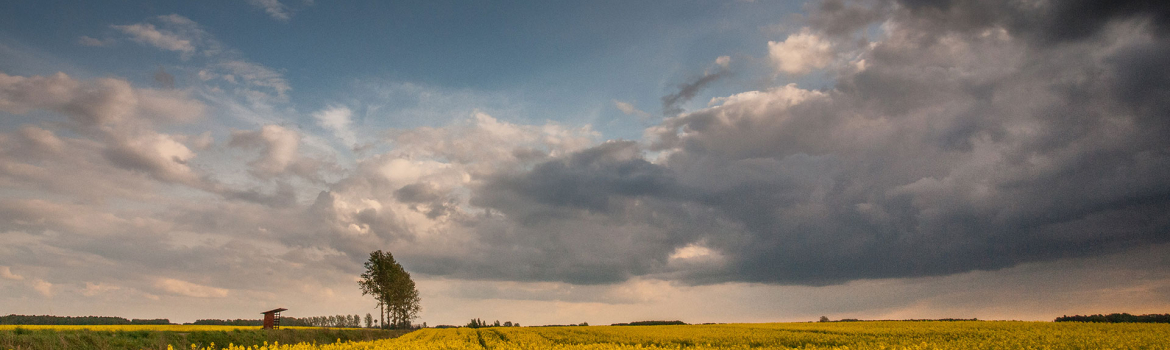
naturalny rytm życia
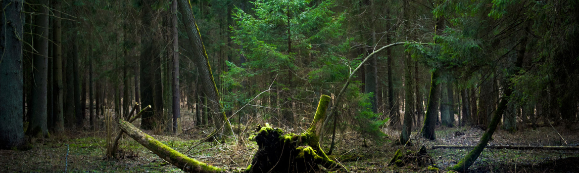
naturalny rytm życia
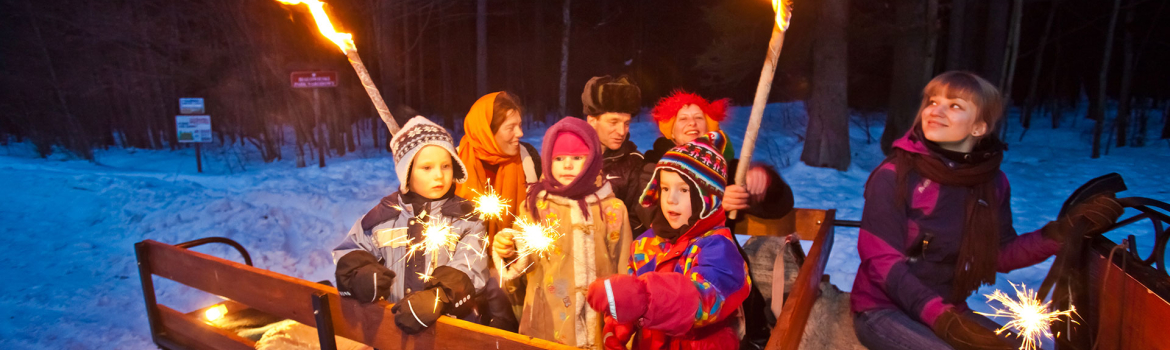
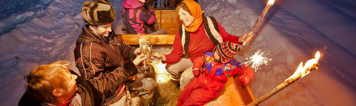
IN THE RHYTHM OF CULTURE
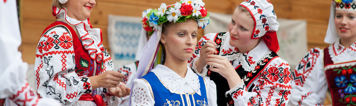
w rytmie tradycji
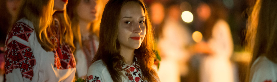
w rytmie tradycji


