Czeremcha: „Do zalewu w Repczycach” Trail (yellow, 1,6 km)

The 1.6 km yellow walking path to the lake in Repczyce is a connection between the integrated walking path systems in Dobrowoda, Kleszczele Commune ("Dobrowódka", "Wyczesok", "Trubianka", "Kariery") and the integrated path system in the Commune of Czeremcha ("To the sources of Nurca", "Kahanka", "Harala").
The path begins at the crossroads of forest roads near railway viaducts, on the border of Communes; Czeremcha and Kleszczele, where the "Harala" path runs. It turns right near the cross and runs straight on for about 0.6 km along a sandy road between the birch and pine forests. Then it turns right through the railway crossing in Repczyce and passes the grave of a Soviet soldier. The path to the village of Repczyce enters the bridge on the Nurzec River, passing the backwater of the Repczyce water reservoir on the left. In the village of Repczyce, it turns left at the intersection and runs straight along with the red bike trail and Green Velo. At the end of the village, the 'Kariery' walking path joins these trails on the right. The routes lead together about 0.2 km along the asphalt road along the reservoir, next to MOR, to the crossroads. Here, the red bike trail and Green Velo turn right to Dobrowoda, and the "Kariera" path goes straight with the Nurca Valley bike trail. The end of the path "To the lake in Repczyce" is marked on the tree at the crossroads and on the signpost of hiking trails on the pole of the Green Velo trail.
GPX do pobrania: Ścieżka spacerowa „Do zalewu w Repczycach” (żółta)
GPS to download: https://www.alltrails.com/explore/map/map--117571
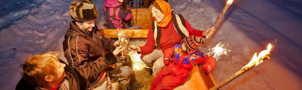
IN THE RHYTHM OF THE HEART
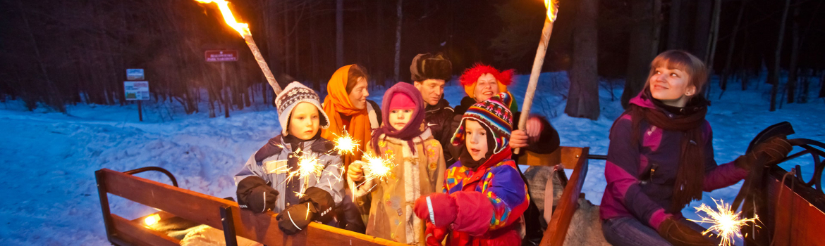
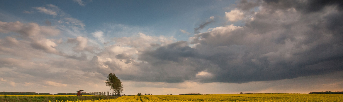
IN THE RHYTHM OF NATURE
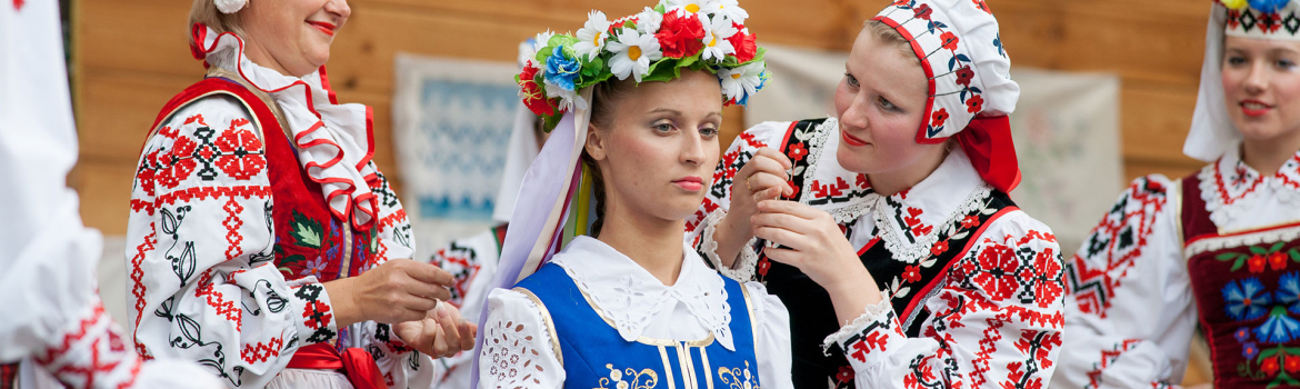
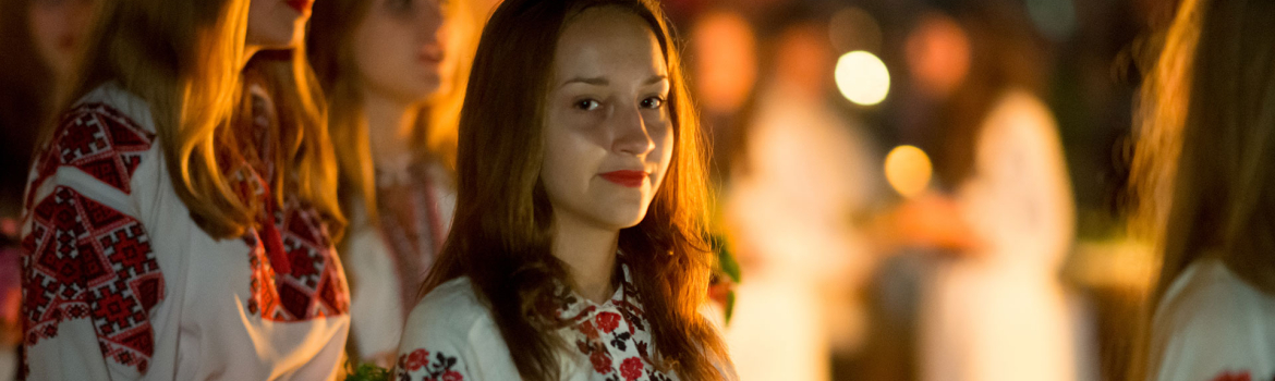
IN THE RHYTHM OF CULTURE