Czeremcha: „Harali” Trail (red, 9 km)

The 9.0-kilometer red Harali path leads in a loop through the northern part of Czeremcha. Its name probably comes from the forest burned years ago at the border with the Kleszczele commune. The path is integrated with the system of walking paths in the village of Dobrowoda, a connecting path in yellow "Over the lake in Repczyce" with a length of 1.6 km.
It starts "Harali" at GOK and leads through its area and turns left after the bridge to ul. Dubois. Behind the Commune Office, turn right into the street leading to the church. Independent orthodox parish Our Lady of Loving was founded in Czeremsza in 1986 and the present church was completed in 1995. Near the church the path turns right again into Szkolna Street, then left on May 1 Street, joining the "Kahanka" path. It comes to an crossroads and turns right into Ogrodowa Street in front of the Three Crosses Square. It goes straight ahead along Ogrodowa Street to connect with Duboisa Street and the path 'To the sources of Nurca'. Before the railway crossing, turn left on a gravel road towards the village of Czeremcha. At the edge of the birch forest, it turns right and after about 1.0 km, right again to the forest. Next, through the forest, 1.5 km to the crossroads near the railway viaducts, where the beginning of the path "To the lagoon in Repczyce" is located. At the cross, the path turns right under the viaducts and then left through the railway crossing and enters Kuzawa. At the main intersection in the village near the church and common room, it turns right with the path "To the sources of the Nurca" and passes over the bridge through Nurzec. Bicycle routes turn left to Dobrowoda and run straight to Czeremcha. On the former track, the "Harala" path turns left near the former barracks and runs along Wiśniowa Street. Here it joins again with the red bike trail and Green Velo. Behind the railroad crossing, the path turns right and runs along with the path "Kahanka" and "To the sources of Nurca" 1 May Street. All paths end at GOK on 1 Maja Street, where there are three tourist signposts.
GPX do pobrania: Ścieżka spacerowa „Harali” (czerwony, 9 km)
GPS to download: https://www.alltrails.com/explore/map/map--117853
IN THE RHYTHM OF THE HEART


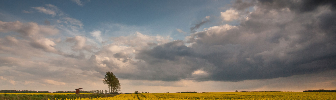
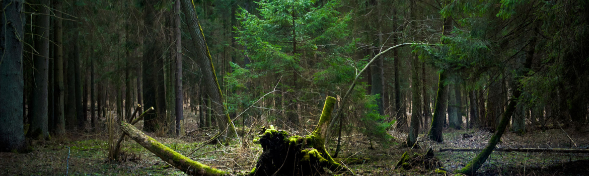
IN THE RHYTHM OF NATURE
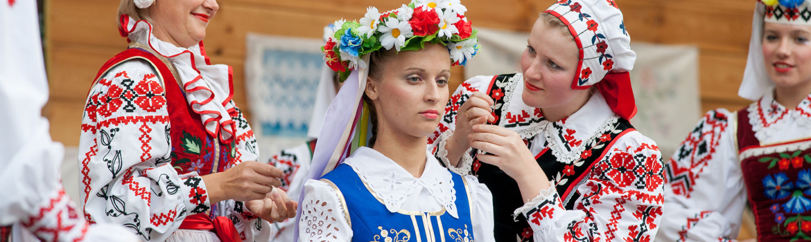
IN THE RHYTHM OF CULTURE